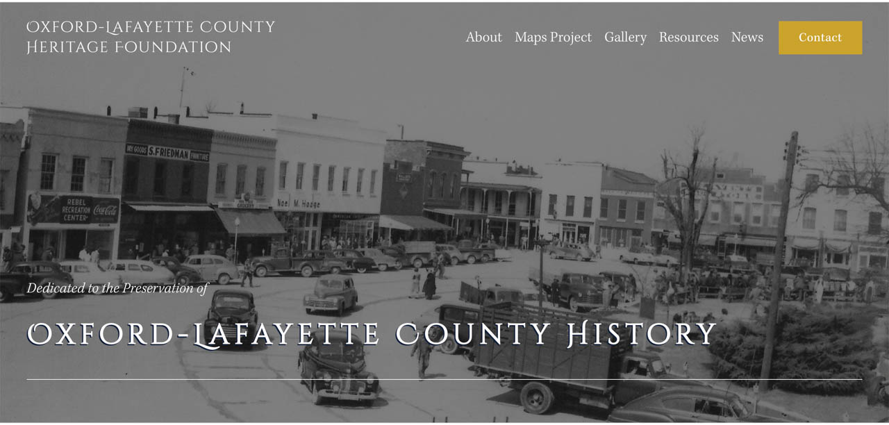
The Oxford-Lafayette County Heritage Foundation recently launched a digital museum in order to educate and provide insight into the area’s past and present.
The group’s Historic Maps Project, launched this September, was inspired by Richie Burnette and Will Lewis’ experience searching for the site of a Civil War-era encampment they found using historical maps. The men experienced great difficulty in comparing locations on historical and modern maps of the area. The Oxford-Lafayette County Heritage Foundation was born after they had the idea to overlay one map on top of the other.

oxfordmshistory.com
The group has historic maps that date back to the 1830s, and anyone can access these resources through their website. Before venturing into the digital humanities, the foundation focused mainly on preserving physical historic sites around the county, including the Burns Belfry Church and L.Q.C. Lamar House. Now, they look to utilize technology to make this history more accessible to all who wish to learn about it.
The community can also contribute to this resource with their own photographs or information beginning next year, according to Bill Freeman, treasurer of the Lafayette County Historical and Genealogical Society.
“We see people come in with a family Bible or box full of photos, and now we have a way to preserve and capture that to share with everyone,” Freeman said.
Although this resource benefits all individuals curious about the county’s history, including many historians and researchers studying subjects ranging from the Civil War to American literary movements, Burnette believes that it could also greatly benefit many departments at the university.
“Engineering and the Sardis Dam, which used to be the largest urban dam in the world — it was a tremendous engineering feat — is explored through this project. Shortly, we will have the plots of lands that were taken from the corps of engineers, and I would be interested in that if I was an engineering student,” Burnette said.
He also believes that the maps bring value to the Center for Southern Studies, sociology, anthropology and archaeology departments. The Slavery Research Project on campus has an existing partnership with the foundation.
“A number of these maps are detailed enough that they show individual structures in the county. If you’re trying to research anything like that, the maps can be a great resource,” Burnette said.
However, members of the project find it equally exciting that this map could unearth even more information about the area through individual submissions.
“Who knows who may come up with something that we don’t even know exists?” Burnette said..
To explore the Historic Maps Project and learn more about Oxford-Lafayette County Heritage Foundation, visit oxfordmshistory.com.
